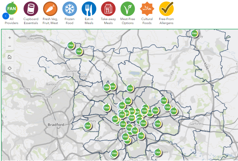
Geographical Map for Food Aid Provision
Please click the icon to see a map showing the geographical location of providers across Leeds, including foodbanks, Food Pantries, drop-ins, Community Hubs, cafes, businesses, and enterprises.
Instructions for how to use the map are on the front page as you access map. If you have any questions or comments about using the map please contact us via leedsfoodaidprovisionmap@leeds.gov.uk or info@leedsfoodaidnetwork.co.uk
You can search the map for projects near you, by keyword or project name, by using the map tools or the filter option provided. The map shows details of services and projects, that may include their...
- Location and address
- Contact details
- A link to their website
- The provision they offer
- Opening times
- Eligibility and referral routes
This map is a work in progress, so if you run a food provision project, temporary or permanent, we would love to have details on the map. You can add information about your service / project by filling in the form here. If your project temporary, please provide an end date on the form and your project will automatically be removed from the map on the date.
If you have any updates or want to make changes to the information regarding your provision, you can update these the link provided when you first registered on the map. If you are unable to locate the email, please contact Leedsfoodaidprovisionmap@Leeds.gov.uk and the team will assist you.